3D-scenes, description
In each scene, top left there is text with links to the web site home page, the section for Earth, the index with 3D scenes, and to change language between English and Swedish. Top right there is a toolbox with a checkbox to show or hide the sea surface and a numeric field to scroll ( -135 - +65 meters) on enter (any value) the sea level offset, a menu to set the height scale, a menu to set the population for the cities displayed, a menu to pick navigation mode, with a link displaying a short manual for the navigation when the mouse pointer is over it, a button that moves the camera out so the whole scene becomes visible, a button to reset to the original view, a checkbox to show rendering statistics and a checkbox to show a log. Bottom center is a navigation palette for button navigation in some navigation modes. Bottom right there is a button to hide and show the user interface.
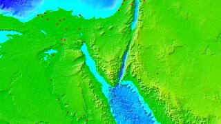
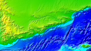
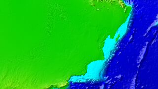
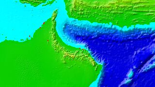
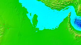
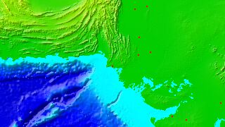
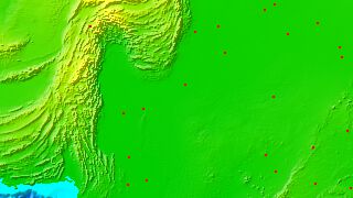
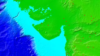
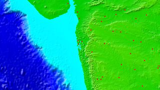
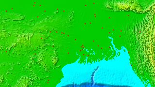
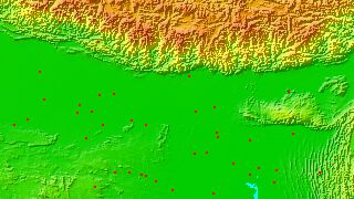
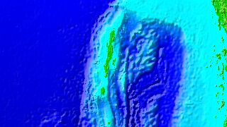
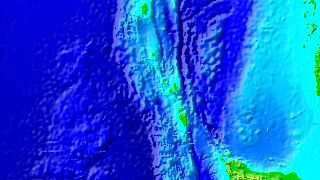
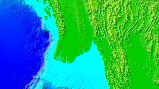
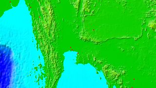
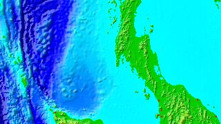
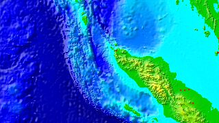
The topography is shown in 3D with color-coded altitude, green - yellow: 0 - 2,560 meters above present sea level, yellow - brown: 2,560 - 8,848 (Mount Everest in the Himalayas) meters above present sea, light blue-green - deep blue: 0 - 2,560 meters below present sea level, deep blue - black: 2,560 - 10,916 (Challenger Deep in the Mariana Trench) meters below present sea level. Cities are shown as semi-transparent red cylinders with their height above land proportional to the population.
In the recommended TurnTable navigation, the camera is rotated around the scene by left-dragging with the mouse, panned by center-dragging (or Ctrl-left-dragging), reducing or increasing distance by right-dragging (or Alt-left-dragging), and focused on a new point in the scene by double-clicking it. When the mouse pointer is moved over the topography, the population density (n≈?/km2), area name, position and altitude (h≈? m) are shown, and when it is moved over the red cylinders marking cities, the city name, population (n≈?), country name, position and altitude (h≈? m) are shown.
3D Coasts
Coastal areas with previews.
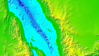
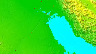
- Farasan Island, Saudi Arabia
- Jeddah, Saudi Arabia
- Al Wajh, Saudi Arabia
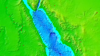
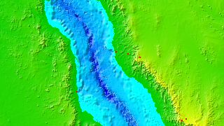
- Sinai Peninsula, Egypt
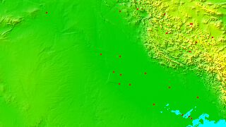
- Al Mukalla, Yemen
- Haima, Oman
- Muscat, Oman
- Doha, Qatar
- Kuwait City, Kuwait
- Baghdad, Iraq
- Kish, Iran
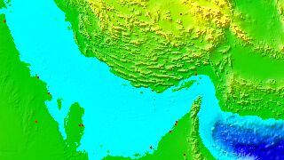
- Chabahar, Iran
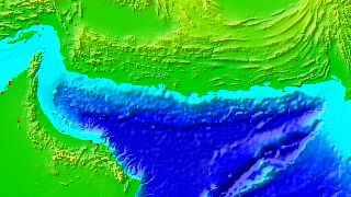
- Karachi, Pakistan
- Rahim Yar Khan, Pakistan
- Rajkot, India
- Mumbai, India
- Bangalore, India
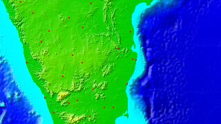
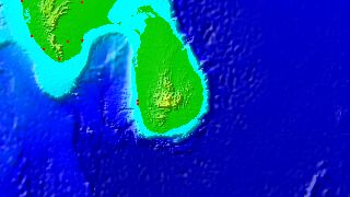
- Lakshadweep, India
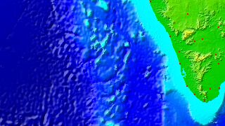
- Kandy, Sri Lanka
- Visakhapatnam, India
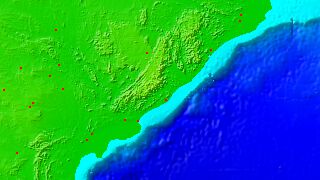
- Calcutta, India
- Purnia, India
- Andaman Islands, India
- Nicobar Islands, India
- Yangon, Myanmar
- Bangkok, Thailand
- Phuket, Thailand
- Banda Aceh, Indonesia
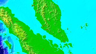
- Kuala Lumpur, Malaysia
Partial indices
Other partial indices of coastal areas, ordered by continent, counter-clockwise.
- N/W Europe
- E Atlantic, Mediterranean
- W/S Africa
- E Africa
- S Asia
- E Asia
- Japan, Phillipines
- N Russia
- Melanesia, New Zealand
- Australia
- Greenland
- Canada
- W USA
- W Latin America
- E Latin America
- Caribbean, E USA
- Pacific
- Antarctic Islands
- Antarctica